
- Uses much of existing trails; keeps front land open to farming
- Creates map of trails to help walkers find their way
- Expands trails for longer or purposeful walks
- Clearings (with gazebos, fire pits or prayer shacks) can be 'cities' where one can go to read the letters or hold services
- Use of GPS system helps 'map' Bethesda trails to Holy Land
- Work with church teams to become 'road crews' to maintain trails
- Becomes a 'virtual Holy Land' pilgrimage
- Create audio tapes on istory or geography of that time for walkers
- Show videos of Holy Land in barn before walks
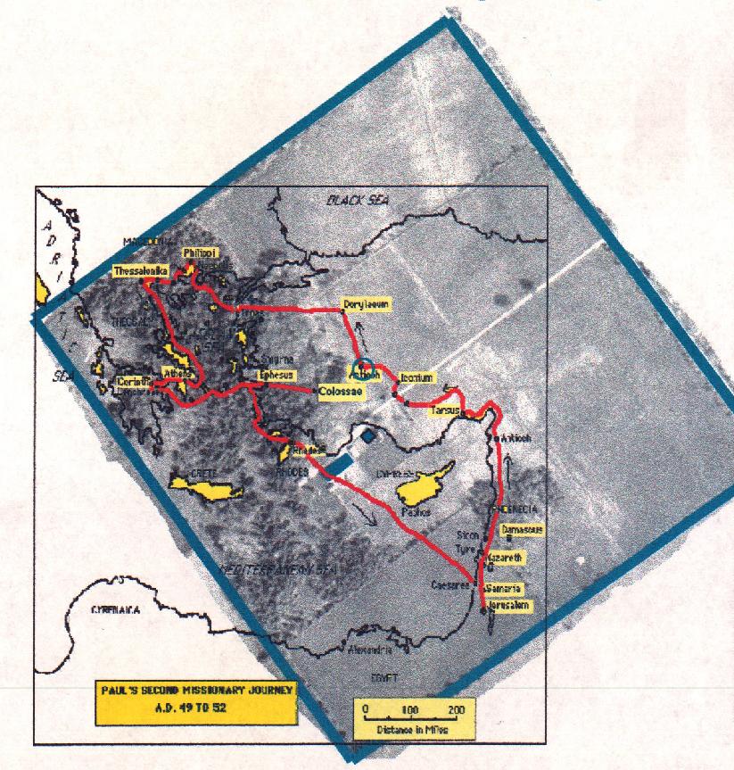
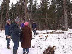 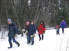
The first Bethesda Holy Land
pilgrimage March 30, 2002
|
|
Wisdom learned from the journey of life.
Overview, and how to get there
Retreat centres